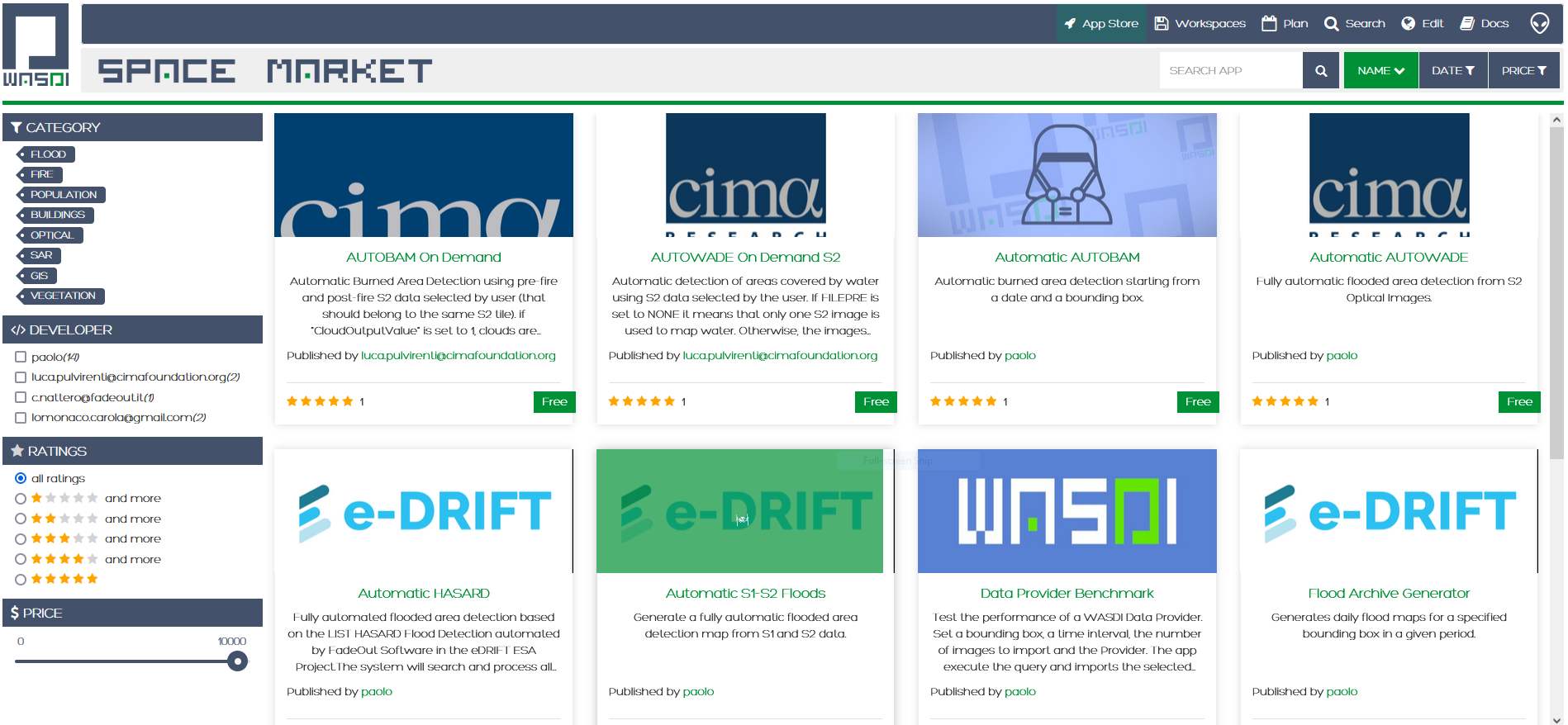
Our Marketplace is full of amazing EO applications.
A world of ready-to-use applications. No technical knowledge is required. You just need to choose the application you need, select the parameters, and voilà, the map with the results is ready for viewing or downloading. It's as simple as that.

They trust in us
The Flood Suite
A cutting hedge algorithm developed and patented in collaboration with Luxembourg Institute of Science and Technology.
Our flood suite is a fully automated satellite Earth Observation-based mapping of floods at global scale. The tool offers scientists and disaster managers the ability to generate flood maps from satellite images, in virtually any region in the world, and in almost real time. Click on the video to see how it works!
-
7+ Yeras of experience
-
10+ Awards
-
2655+ Coffee
-
35653+ Hours Work

The Fire Suite
Easy tracking and monitoring of fires and burned areas with our Fire Suite.
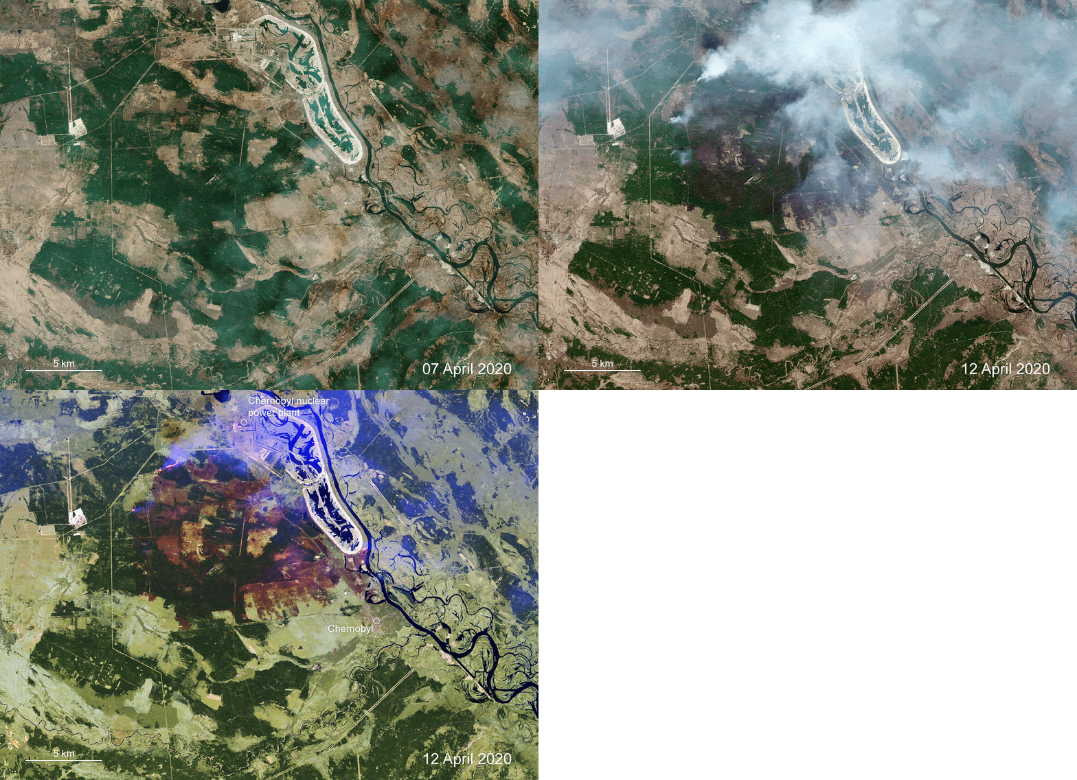
With wildfires recently threatening the closed Chernobyl nuclear power plant in Ukraine, the Copernicus Emergency Mapping Service used the WASDI Fire Suite to monitor the fires, smoke, and the resulting burned area.
-
7+ Yeras of experience
-
10+ Awards
-
2655+ Coffee
-
35653+ Hours Work
Ready to launch website?
Lorem ipsum dolor sit amet consectetur adipiscing elit tortor eu egestas morbi sem vulputate etiam Lorem ipsum dolor sit amet consectetur adipiscing elit tortor eu egestas


